PHP cURL to Google Civic API
Well, this stumped me for like an hour. The Google Civic Information API is a handy way to grab voting and elected official information. The current way I do that on GeoPortal is to enter some representative information
Well, this stumped me for like an hour. The Google Civic Information API is a handy way to grab voting and elected official information. The current way I do that on GeoPortal is to enter some representative information
I’ve been a happy Grunt user for a while now. I use it for dev watch/preprocessing/livereload type stuff, and it works great. It is, however, a bit cantankerous to set up. Sometimes you can’t seem to get around making intermediary files when stringing tasks together either, which means crud in your folders. I hate folder crud.
Gulp is the new hot stuff for task running. I hadn’t heard of it until a few weeks ago, but after having a play with it it might replace Grunt in my stack. The configuration is easier to set up and read, and because it uses node streams it can net you a decent performance boost.
I’m in the process of replacing our primary web server for open source stuff1, and it seemed like a good opportunity to figure out how to get our content to the “cloud” or, if that word raises your nomenclature hackles, a VPS host.
Nothing sets my propeller-hat spinning faster than nerdgear. When people talk about how they work I decouple with my headphones and listen. Because, somewhere deep down, I’m pretty sure I’m doing it wrong. Without furt
GIS Day 2013 has arrived! We’ll be flaunting our geowares on Wednesday, November 20th from 8:30-3:30 at Spirit Square, 345 N. College St., Charlotte NC. There will be fun for all ages and talks and demos going on most
Bear in mind, I make no suggestion one should do these things. This is probably a terrible idea. What can I tell you - trying this out was more fun than the other stuff on my todo list.
Sometimes the border around an interactive map on a web page feels a little harsh. If you’re making an infographic or something similar, you might want the map to appear to be “in” the page rather than “on” it, and that’s hard to do with a chopped-off tile ending in a x-pixel border. Maybe you want to fade the map into the background, or maybe do some sort of torn-page effect. Here’s how you could do that.
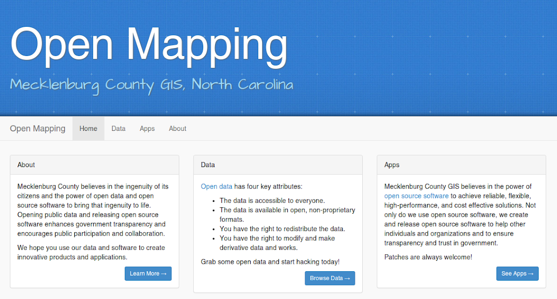
Mecklenburg County has opened the people’s GIS data. As in really open (MIT). As in all of it.